Hello
to choose a selection in the type geoshape between lines and polygons is still not provided in the future?
This feature, which already exists in GeoODK-Collect for a very long time, is the only reason why I can not use ODK-COLLECT for my work. It would be great if that, probably simple feature, could be built in. GeoODK-Collect is now relatively outdated and no longer developed.
Ultimately, the only thing that should be anchored in the code is not to connect the last point with the first point. Or as a own type, eg geoline?
Would be great
Regards
Dominik
Not sure I fully understand... The form definition can prescribe either a geoshape (closed polygon) or geotrace (open poly-line) as the control type. Do you want an additional way (in the UI) for the user to be able to override this, ie to close a geotrace and effectively make it a geoshape? And/or override a geoshape by 'un-closing' it to make it a geotrace?
I need the option to manually create a line. Geotrace does not have this option because this type is always gps dependent. In geoodk you can choose the type geoshape, if you want to digitize a line or a polygon. This option would be nice for odk-collect. Of course, as I lack the technical skills, I can not say how to put this into practice. Either you can choose whether to digitize a line or a polygon while geoshape is running. Or it would have to be a new type (e.g., geoline).
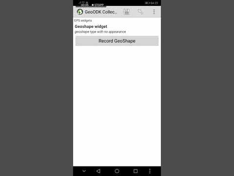
In this link you can see geoshape in GeoODK-Collect
Regards
Dominik
@Dominik Collect v1.21 (to be released at end of March) has the option to manually place points. If you do that in geotrace, it'll create a line. If you do it in geoshape, it'll create a polygon.
Hi
I did not knew that.
That's are really great news.
The Team from OpenDataKit is just the best.
Regards
Dominik
